
Apps and tools for surveyors, by surveyors.
We build accurate, no-nonsense software for geomatics work, checked against official data and free to use.
No accounts. No ads. Your data stays on your device.
Our apps
Free to use, built for real survey work.
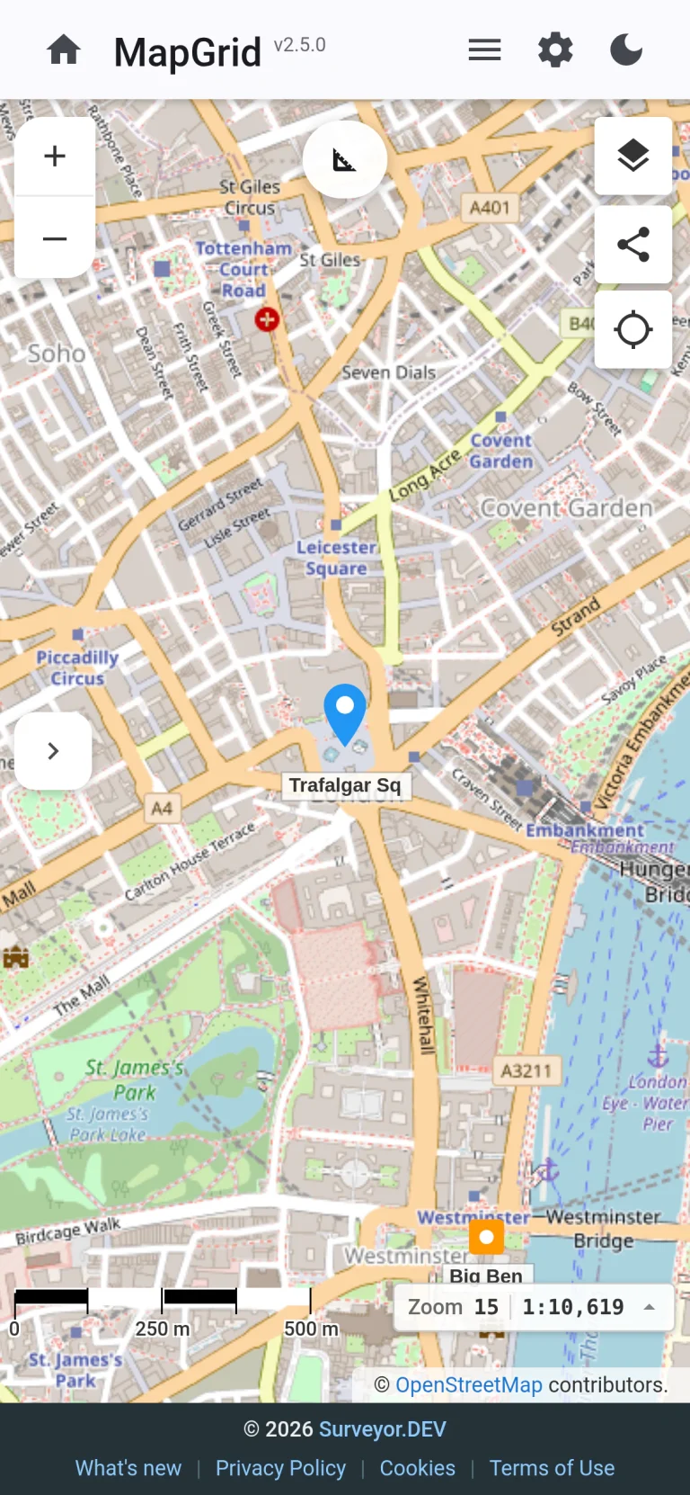
MapGrid
Coordinate conversion, wherever you work.
A free, browser-based coordinate converter for the UK and Romania.
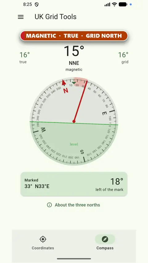
UK Grid Reference Finder
Accurate OS grid references in your pocket, even offline.
OS grid references and survey-grade coordinates on your Android phone, online or offline.
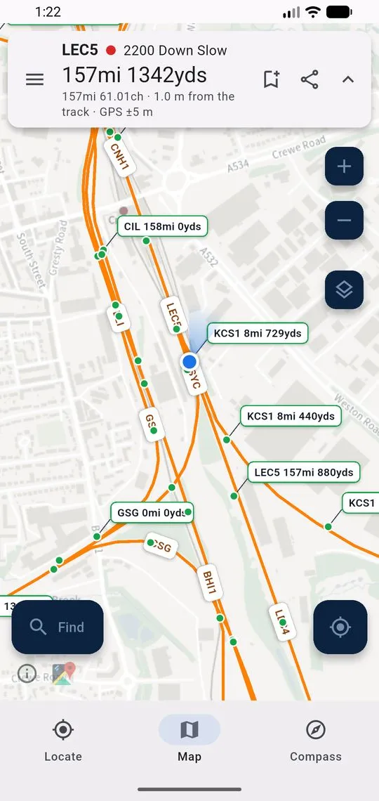
LineRef
Locations by line reference and mileage, on and offline.
Find and share locations by line reference and mileage.
Why Surveyor.DEV
Built by a working surveyor
We’re run by a practising surveyor with over 10 years of field and office experience. Every tool starts from a real problem on site or in the office.
Tested against official data
We check our transformations against the official test points for OSTN15 and the ANCPI grids. UK Grid Reference Finder uses the full OSTN15 model, good to 0.15 m at 95%.
Free and private
No accounts, no ads and no tracking. Your coordinates stay on your device unless you choose to share them.
Precision isn’t optional. We test against published accuracies, not “close enough”.
Need something built?
Alongside our own apps, we take on custom work for survey teams and geomatics businesses.
Custom survey software
Desktop, web and mobile tools that fit the way your team actually works, from field capture to office processing.
Coordinate systems and transformations
Datums, projections, grid files and height models, implemented properly and verified against official reference values.
Data conversion and recovery
Getting survey data out of legacy and proprietary formats and into something you can use today.
Got an idea for an app, or a workflow that eats your team’s time?
Tell us about it. We’ll give you a straight answer on whether software can help, and what it would take.