
MapGrid
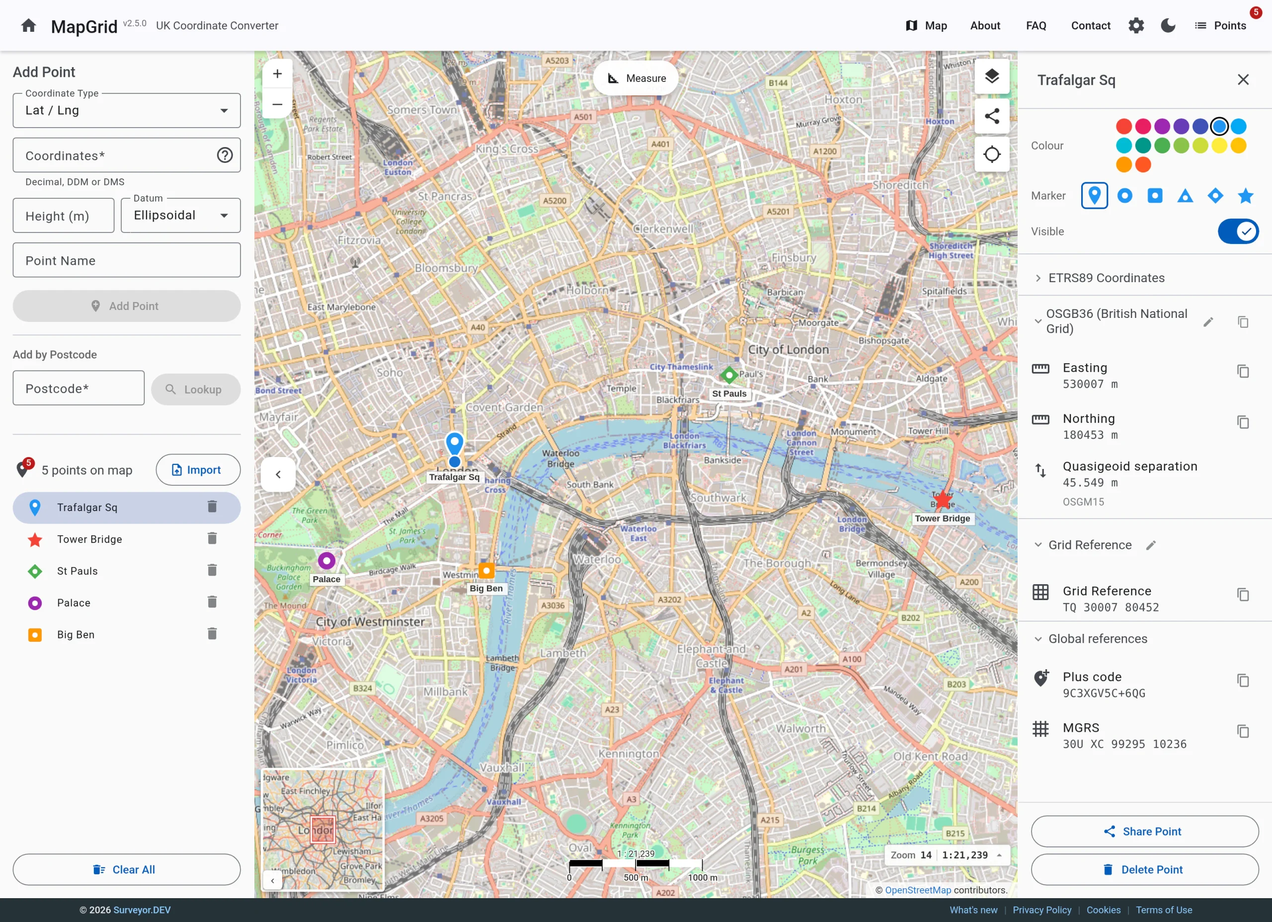
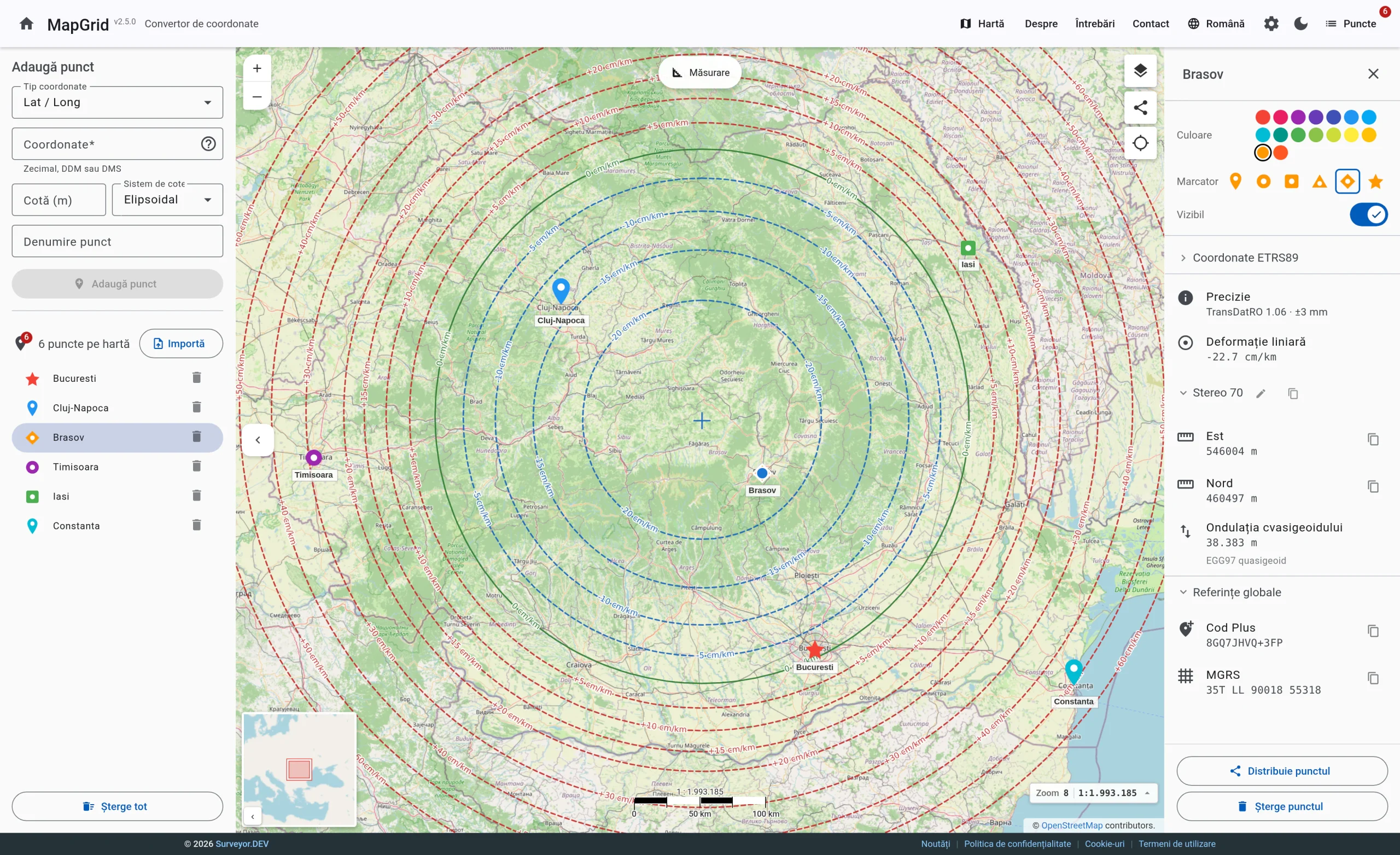
A free coordinate converter that runs in your browser. British National Grid, Irish Grid and Romanian Stereo 70, using the official transformation models, with no account needed.
What it does
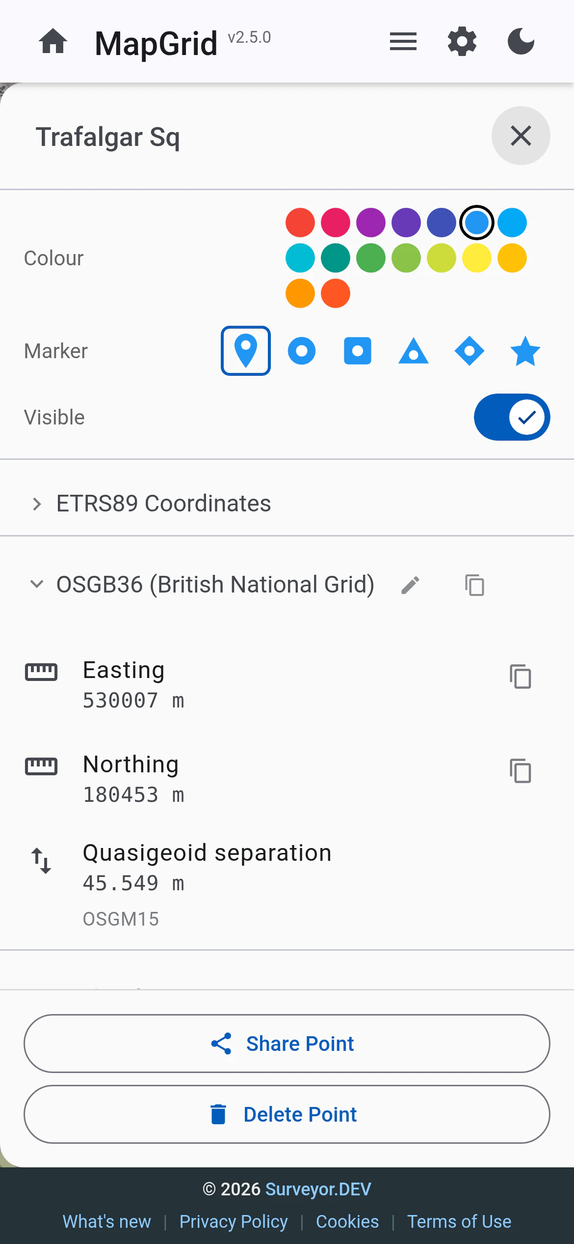
- OSGB36 / British National Grid and Irish Grid using OSTN15 and OSTN02, with heights above Newlyn
- Romanian Stereo 70 using the official ANCPI grids, with heights above Marea Neagră 1975
- WGS84 latitude and longitude
- Point lists with import and export: CSV, Excel, KML/KMZ and fixed-width text
- Shareable links and accuracy reporting
- No account needed, and your data stays on your device
Accuracy you can check
MapGrid uses the official models rather than a quick approximation: OSTN15 and OSTN02 for Great Britain and Ireland, and the ANCPI transformation grids for Romania. It also reports the accuracy of its conversions, so you know what you are working with.
Got a coordinate system you would like to see in MapGrid? Tell us about it.