
Surveyor’s Fieldbook
The site notebook for land surveyors, even offline.
Site notes, photos, setups and levelling on your phone: a record of the job you can trust.
 iPhone: coming soon
What it does
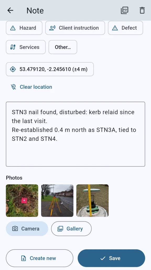
- Site notes with photos and the phone's position, shown with its accuracy
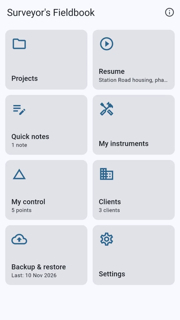
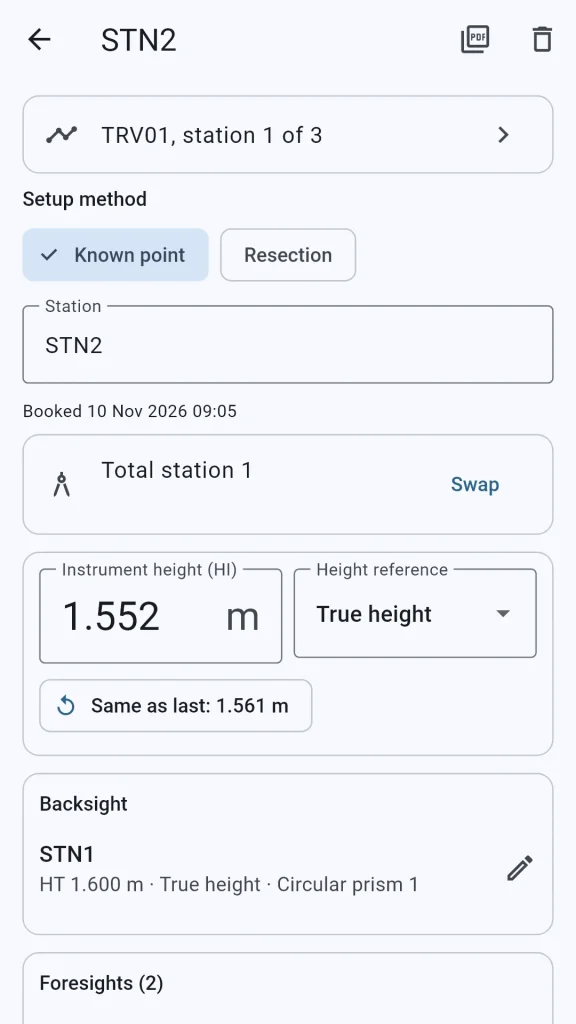
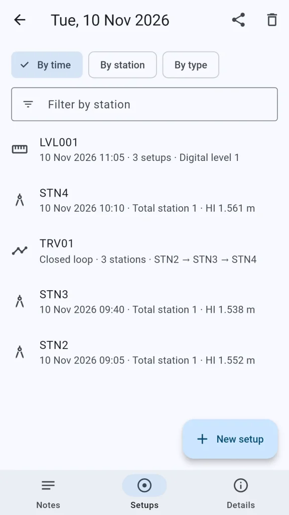
- Total station, GNSS base, laser scanner and level setups that open on the heights
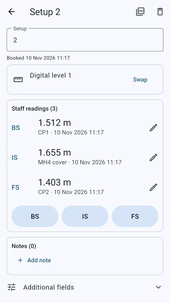
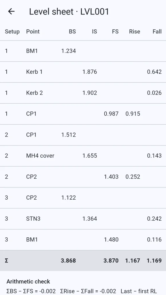
- Levelling runs reduced by rise and fall, with the arithmetic check and the misclosure
- Strike through, never erase: a corrected value stays visible, with when and why it changed
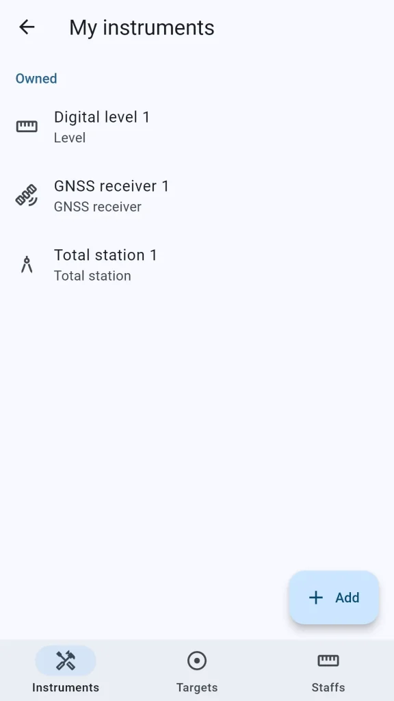
- My instruments, from a built-in catalogue of models and prism constants
- PDF reports, levelling to Excel and CSV, and backup of everything to one file
A field book for land surveyors
Surveyor’s Fieldbook replaces the paper site notebook and level book. It keeps your site notes with photos and the phone’s position, and the record of every setup: how each height was measured, which instrument and prism you used, and what changed and when. It’s made for land surveyors, engineering surveyors and site engineers.
As quick as a pencil
Setups open on the heights, and you book them with the phone’s own number keyboard. Swap an instrument in one tap, and start the next station or the next level setup from the last one. Levelling runs are reduced by rise and fall on screen, with the arithmetic check and the misclosure, and the readings stay as you booked them.
Strike through, never erase
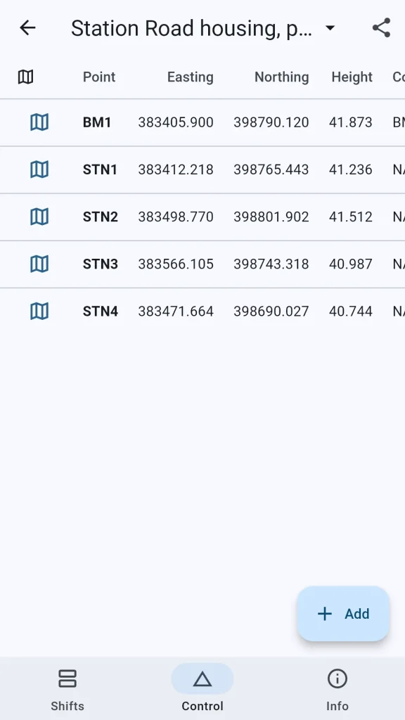
A corrected value stays visible, struck through with when it changed and why, on screen and in the PDF reports. Photos are kept as taken, and survey control is kept exactly as you typed or imported it.
Free, offline and private
Surveyor’s Fieldbook is free, with no adverts, no account and no tracking. It makes no internet connections: everything stays on your phone until you export a PDF, a spreadsheet or a backup and share it. It’s in English, French and Spanish, in metric or imperial units.
Read the Surveyor’s Fieldbook privacy policy. Something you’d like it to record? Tell us about it.